Technical Concept
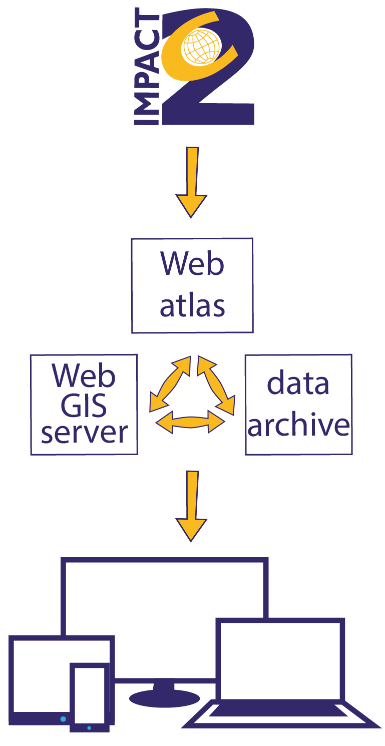
The unique technical concept developed for the IMPACT2C web-atlas is solely based on open source programs. The goal was to enable the community to manage and show their results in a common design – independent from platforms or devices. In its current form, the atlas can be accessed from various standard desktop and mobile devices. The technical development was conducted jointly with external programming specialists. All contents to date were prepared by the IMPACT2C community.
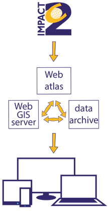
Due to the international nature of the IMPACT2C project, the provider side needed a tool which enables the provision of map input and text editing from any location. This was enabled by an automatic data-import into a data archive system for the IMPACT2C partners. In an intermediate step, a Web Map Service handles the map contents and allows for additional features which are based on geo-referenced applications. Finally, a content management system brings texts, maps and graphs into a user-friendly format.
Open Source Tools

|
Python (www.python.org) is a widely used general-purpose, high-level programming language. Its design philosophy emphasizes code readability, and its syntax allows programmers to express concepts in fewer lines of code than would be possible in languages such as C++ or Java. |

|
Django (djangoproject.com) is a free and open source web application framework, written in Python, which follows the model–view–controller (MVC) architectural pattern. |

|
django CMS (django-cms.org) is a free and open source content management system platform for publishing content on the World Wide Web and intranets. It is based on Django and written in Python. |

|
PostgreSQL (postgresql.org), often simply Postgres, is an object-relational database management system (ORDBMS) with an emphasis on extensibility and standards-compliance. As a database server, its primary function is to store data securely, supporting best practices, and to allow for retrieval at the request of other software applications. |

|
PostGIS (postgis.net) is an open source software program that adds support for geographic objects to the PostgreSQL object-relational database. PostGIS follows the Simple Features for SQL specification from the Open Geospatial Consortium (OGC). |

|
GeoServer (geoserver.org) - an open-source server written in Java - allows users to share, process and edit geospatial data. Designed for interoperability, it publishes data from any major spatial data source using open standards. GeoServer has evolved to become an easy method of connecting existing information to Virtual Globes such as Google Earth and NASA World Wind as well as to web-based maps such as OpenLayers, Google Maps and Bing Maps. GeoServer functions as the reference implementation of the Open Geospatial Consortium Web Feature Service standard, and also implements the Web Map Service, Web Coverage Service and Web Processing Service specifications. |

|
OpenLayers (www.openlayers.org) is an open source (provided under the 2-clause BSD License[2]) JavaScript library for displaying map data in web browsers. It provides an API for building rich web-based geographic applications similar to Google Maps and Bing Maps. The library was originally based on the Prototype JavaScript Framework. |

