About the IMPACT2C web-atlas
The policy discussion of whether we can limit global warming to not more than +2°C will be of central importance at the COP21 negotiations in Paris in December, 2015.
In this context, the following scientific questions are of major importance:
- what might be the potential impacts of a +2°C global warming compared to the preindustrial period for various regions of the globe, and economic sectors?
- what are the differences between a +2°C and a +3°C global warming?
- what might be prevented if global warming is limited to +2°C rather than +3°C?
Parts of these questions have been answered in the IMPACT2C project. Raising policymakers’ and society’s awareness of potential climate change impacts under a +2°C global warming compared to the preindustrial period has been one of the major aims of the IMPACT2C project. For this purpose, the IMPACT2C web-atlas was developed in order to present the findings of the project easily accessible for a wide range of users. A printed and a web-based version of the atlas exist. The printed version of the atlas corresponds to deliverable D15.3.
The IMPACT2C web-atlas depicts the climate change impacts of a +2°C global warming for the key sectors – energy, water, tourism, health, agriculture, ecosystems and forestry, as well as coastal and low-lying areas, – at both the pan-European level, and for some of the most vulnerable regions of the world. By using a multi-model ensemble of both climate and impact projections it is possible to define ranges of impacts and therefore quantify some of the uncertainty around future climate and climate impact projections.
For each of the sectors and regions, the IMPACT2C web-atlas tells visual stories of potential impacts for different topics related to a specific sector or region. The web version of the atlas allows the reader to explore the various interlinkages within a specific sector and regions as well as between sectors. By presenting a wide variety of potential climate change impacts, the IMPACT2C web-atlas aims to serve various audiences in gathering information for the development of recommendations on possible adaptation strategies on national and international levels.
| Note: The IMPACT2C web-atlas is designed to be a living document. It will continue to grow as further topics and stories are added in the near future. Please stay tuned to see these new additions. In order to help the developers make the web-atlas more user-friendly, we invite you to send us your suggestions and ideas for further improvement of the tool. Please send them through the contact button on the upper right of the page. |
Word of Caution
Although research carried out within the IMPACT2C project and presented in the IMPACT2C atlas is conducted by world-leading scientists and based on state-of-the-art methods, some words of caution are necessary. All results presented in the atlas are based on model simulations and therefore are subject to simplifications and assumptions. The data and methods used to compile the information presented in each of the stories are harmonized as much as possible in order to ensure the comparability of the presented findings in the different sectors.
Nevertheless, although all results are based on multi-model ensembles of climate simulations, it was not possible to consistently use the identical set of climate input nor was it possible to use multiple impact models in all of the impact assessments. This limitation was due to technical or methodological reasons and has to be kept in mind while interpreting the cross-sectoral impacts. In order to make clear what methods and models have been used, a detailed description is provided in each of the stories.
Careful considerations to represent the uncertainty of the projected impacts within all the stories and topics have been made. Details on this uncertainty issue can be found here.
The web-atlas concept
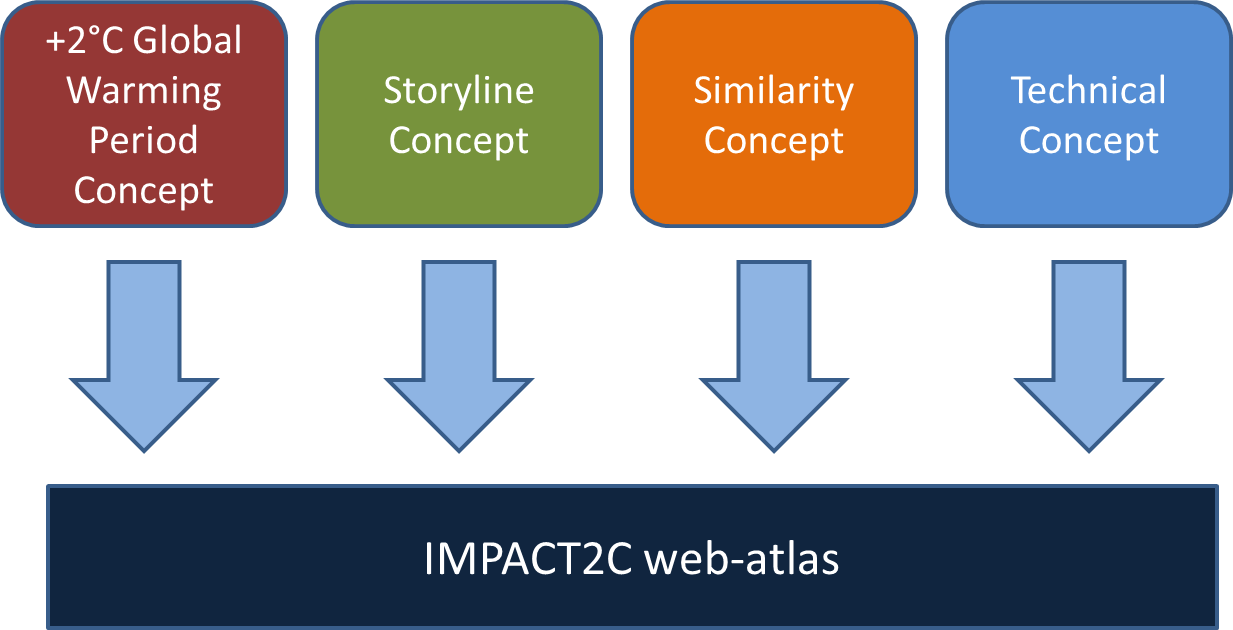
The members of the IMPACT2C project jointly defined the concept of the IMPACT2C web-atlas to develop a tool that provides easy access to the multisectoral and interdisciplinary project results. The atlas was designed to serve two purposes. Firstly, being the central outreach tool of the IMPACT2C project, the users of the atlas should receive a user-friendly tool for easy access on information regarding understanding impacts, risk and adaption under a +2°C global warming scenario. Secondly, it should allow information providers to have a user friendly platform to visualize, cross-link and present scientific content. To achieve these tasks, several concepts like a +2°C global warming period concept, a storyline concept, a similarity concept, and a technical concept (see Figure), have been developed. To enhance the usability of the web-atlas an interactive tutorial is provided.
The +2°C Global Warming Period Concept: Within IMPACT2C, the +2°C global warming period has been defined with all project partners and applied for all subprojects and tasks. The period describes the years, for which the projected global mean temperature increase of the individual model simulations crosses the +2°C target compared to preindustrial times (1881–1910 period).
Storyline Concept: Overarching stories for major fields of interest (sectors and regions), have been defined to provide different topics and aspects within, and between these fields.
Similarity Concept: All maps and texts in the atlas are structured in the same style to improve the accessibility to the various contents as well as to facilitate the comparison within, and between stories.
Technical Concept: The atlas is based on open source programs in a unique combination enabling provider and user an easy-accessible information sharing point.